great walks
in little ol' Te Anau
New Zealand is home to some of the most outstanding hiking in the world, with our collection of local Great Walks and variety of trails. Te Anau is nestled within some of the best, with The Kepler Track, The Milford Track, The Routeburn Track and Hollyford just around the bend.
Of course, we've hiked them all ourselves so have pulled together our top tips for each stroll below.
Hike our Great Walks outside of the high season for less crowds and cheaper fees, but keep an eye on the weather.
MILFORD TRACK
The Milford Track, Fiordland National Park is described across the globe as 'the finest walk in the world' for good reason. Hike along glacial carved valleys, traverse through ancient rainforest and drop your jaw as cascading waterfalls - but be sure to lock in your huts well in advance. The whole season books up in under three hours every year, rain, shine or world pandemic.
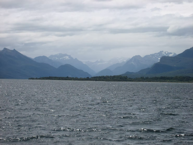
Starting from the Te Anau, you can catch an hour-long bus to Te Anau Downs, then a cruise boat for a one and a half trip to Glade Wharf – which gives spectacular glimpses of what lays ahead.
Check out our Camp Mother’s blog about her unique journey along the Milford Track below. Find out all the nitty gritty and Milford Track updates on the Department of Conservation website here. And be sure to check the weather!
Milford Track, Great Walks of New Zealand
Milford Track, Great Walks of New Zealand
The Milford Track has been named ‘the finest walk in the world’ for good reason. Hike along glacial carved valleys, traverse through ancient rainforest and drop your jaw at cascading waterfalls, but be sure to book your huts well in advance! This track is one of the Great Walks of New Zealand, so it is very highly sought after.
The Milford Track begins in Te Anau, goes through the beautiful Fiordland National Park, and finishes in Milford Sound at Sandfly Point. The hike is 53.5km and usually takes three or four days.
The Milford Track is a moderate level of difficulty. Given that there are side tracks, it is easy to end up walking over 60kms. There is a 750m climb to, and 900m descent from, Mackinnon Pass which can be challenging. Aside from that, the rest of the track is relatively flat.
Our journey began where all good outdoor adventures do, at Te Anau Lakefront Backpackers with a motley crew of twenty seven trampers ranging from fourteen years of age to sixty. Camp mother was lucky enough to score us some bunks in prime season of December.
The next day we set off, with an hour on the bus to Te Anau Downs, then a 1 ¼ hour boat cruise to Glade Wharf that gave amazing glimpses of what lay ahead. The Rata were in bloom on the shore, a brilliant red, in contrast to the deep blue of the lake.
Glade Wharf to Clinton Hut: 1 – 1 hr and 30 mins
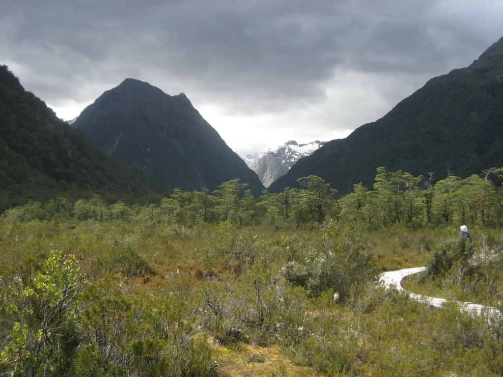
Started early afternoon for an easy walk to Clinton Hut. Meandered along the side of the Clinton River, through lowland beech forest. Great hut – tried to grab a bunk room with minimal potential snorers.
Had a quick dip in the river, my guess was about twelve degrees so very refreshing. Spent the rest of the daylight hours exploring the nature walk made up of boardwalks over the wetland which was very informative. Interesting talk from the ranger and my first exposure to the rolling r’s of the South Island – you’ll know when you hear it.
A good night with good company, though I am adding 5am rustlers to my list of people to be avoided!
Clinton Hut to Mintaro Hut – 6 hours
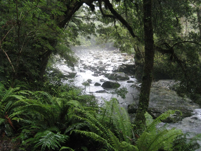
We continued along the Clinton River until we reached Lake Mintaro. Climbing up the Clinton Valley you really know you are in a rain forest, the most gorgeous shades of green, with waterfalls at almost every turn. Through the mist we got glimpses of Mackinnon Pass – to be climbed tomorrow. Felt very insignificant next to the sheer scale of the massive rock walls up the valley.
We were made aware of the gain in altitude by both the drop in temperature and the forest changing to sub-alpine as we climbed towards Mintaro Hut. The track is in brilliant condition and with not many stops due to the rain we were pleased to get to the hut in 4 ½ hours. The wet weather gear was put to good use.
Another enjoyable evening and another informative warden. The lovely Sonia did a brilliant imitation of both the male and female kiwi (female sounds like she is being strangled – not pleasant). Then early to bed, however Mother Nature had other ideas. You are warned about earthquake risk in this hut so it was a little disconcerting at 1.30am when she put on a sound and light display – thunder, lightening and hail, followed by torrential rain. The whole hut was shaking and the occupants up watching the performance. A little uneasy about what lay ahead tomorrow after all that water.
Mintaro Hut to Dumpling Hut: Six to seven hours
The rain stopped during the night and we got up to a slightly misty, cool morning. Really hoping it would clear as we had heard that the view from Mackinnon Pass is amazing – best view ever from a long drop (also known as an outdoor toilet).
All rugged up against the cold it was uphill to Mackinnon Pass Shelter (1154 m), this is the most challenging part of the track, I would rate it as moderate. There was a lot of water around, waterfalls and streams flowing well, but no rain. The biggest challenge is the weather and as you go higher you lose shelter. At the top we were greeted with a short snow flurry so didn’t manage to get the obligatory photo from the long drop. Note; there was no door to the long drop so you are required to make your presence known by singing or reciting poetry.
We stopped for lunch, hot tea and anti-inflammatories (badly fitting pack) at the Mackinnon Pass Shelter. Then we had a steady downhill through amazing sub-alpine terrain to the valley below. What should have been a few waterfalls were a couple of hundred after the overnight rain, absolutely amazing. We did the side trip to Sutherland Falls (45 mins each way), 580m high and just roaring, could hear them well before we could see them. The spray was tremendous, no way you could walk under them today.
Arrived at Dumpling Hut in good time even with the detour to the falls and then the rain started again. Great timing, as I was onto my last dry clothes.
Dumpling Hut to Sandfly Point: 5 ½ – 6 hours
We had an early start planned as we had to get to Sandfly Point to get the boat to Milford Sound, then onto an overnight cruise. We were greeted by the warden advising us that we weren’t going anywhere, as about half an hour from the hut the track was under about a metre of water. The plan was if it wasn’t down by 10am they would need to helicopter us across the flooded section. I looked forward to my first helicopter trip, but unfortunately it wasn’t to be. The water went down as fast as it had come up – remember it can happen the other way too. We didn’t have much time to admire the views as had to get to Milford by 4pm to catch the overnight cruise.
Following the Arthur River, you couldn’t see much in the way of signs of the recent flood. We stopped at the Mackay Falls for a quick lunch then as the rain started again a gallop along a pretty flat, wide track to Sandfly Point, ticking of the kilometre markers. Believe the name – sandflies abound!
The arrival of the small boat was very welcomed and after boarding we got our first glimpse of Piopiotahi (Milford Sound), truly incredible. What a brilliant finish and an amazing walk. Yes, we were wet, but without the rain the Milford Track would not be as spectacular or special.
And we made the overnight cruise – the cherry on top of the icing on top of an incredible five days.
If you’d like to find out more about the Milford Track, check out the DOC website.
ROUTEBURN TRACK
The Routeburn Track is the ultimate alpine adventure, taking you through ice-carved valleys and below the majestic peaks of the Southern Alps - Kā Tiritiri o te Moana. A short trip from tranquil Te Anau or bustling Queenstown, this Great Walk links Mount Aspiring and Fiordland National Parks in Te Wāhipounamu – South West New Zealand World Heritage Area.
Weaving through meadows, reflective tarns and alpine gardens, you’ll be rewarded with spectacular vistas over vast mountain ranges and valleys. The Routeburn Track can be hiked in either direction. The track is well marked and signposted, but some sections are steep and rough and may be muddy and slippery. Poor weather conditions can make this walk challenging, even in the Great Walks season (November to April).
There is also the option to add on the Caples Track to create a loop, for an day and a half of adventure. For the tale of two sisters doing exactly that, check out more information about the Routeburn Track below. For transport options, check out Tracknet.
Routeburn Track, Great Walks of New Zealand
Routeburn Track, Great Walks of New Zealand
An escapade in the elements, by the Masson sisters.
The Routeburn Track is a 32km hiking track in the South Island and should take three to four days to complete. It is a moderately difficult walk as there’s a considerable amount of undulation throughout the track. It’s one of the Great Walks of New Zealand and has beautiful vistas, alpine gardens and reflective tarns.
My sister and I have always wanted to walk the Routeburn Track and we had an opportunity to tackle it after my daughter’s wedding in Wanaka, early March. First lesson – the Great Walks of New Zealand book up early! Leaving it to November to book huts limited our options.
We were not able to book into a hut on the Routeburn Track until the second night of the planned trip and availability only worked from the Divide side. Solution; do the Caples first! This added one and a half days to the planned three-day tramp and meant we would almost do a circuit. Great that you can do the Routeburn Track from either Te Anau or Glenorchy (Queenstown) side.
Day 1:
We stocked up on necessities in Queenstown – a four nighter required wine. Boarded the shuttle in Queenstown, then a great drive along Lake Wakatipu, before the road turns into a single lane and lose metal after Glenorchy.
Greenstone Shelter to Mid Caples Hut
2-3 hrs (24 bunks – serviced. No bookings – first in gets the bunk)
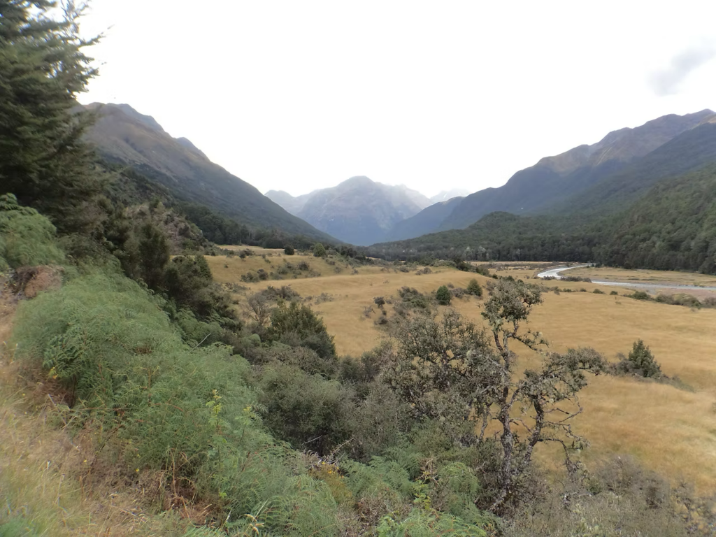
Started after lunch as we didn’t have far to go, a lovely sunny day. Up a gorgeous valley, along the true left of the Greenstone River then after the turn off to the Greenstone track, the true left of the Caples River. Interesting swing bridges worth checking out – great engineering. Made friends with an inquisitive Toutouwai (New Zealand Robin) who followed us as we walked, I think he was hoping we would stir up a feed.
We followed the bush line consisting mainly of beech, with the odd grass clearing. Came across a couple of slips that didn’t cause us any problems. We got to the hut in just under two and a half hours – only one other group of five there, so no problems with getting a bunk. A short meander down to the river for a very refreshing swim, where after keeping the squealing to a minimum saw some Whio (Blue Duck).
A warden turned up just before dark, a shame he was a bit of a “pissing competition” kind of guy – always bigger and better. A bit of sport for the other party.
Day 2 – Mid Caples Hut to Lake Howden Hut
5 ½ – 8 ½ hrs (Great Walk Hut – bookings required – 28 bunks)
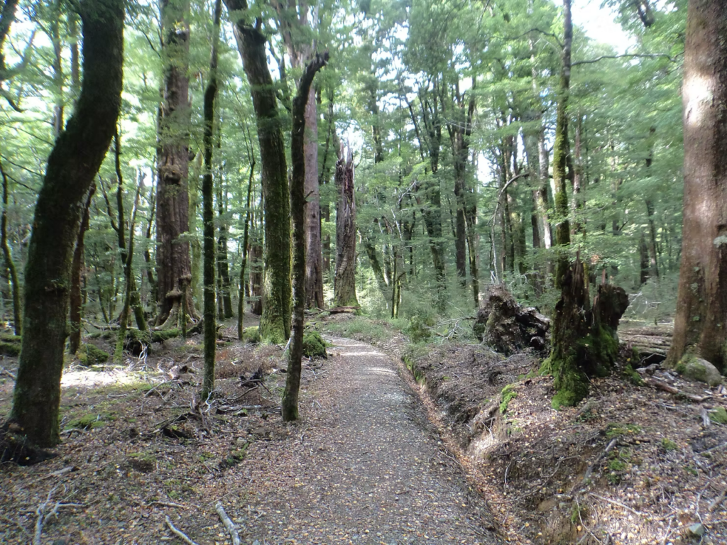
Woke to a yellow and red sunrise and slight cloud. Continued up the valley through long grassy meadows, then into more beech forest. There were a few streams coming down to the track that were low as there had been no rain for a while.
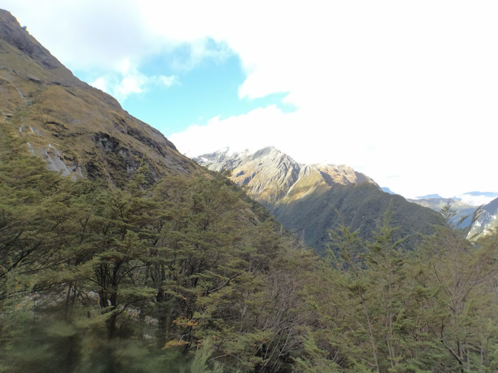
After about two hours the track meets the junctions of Steele Creek, Kay Creek and Fraser Creek Tracks which look interesting but not for this trip. Backcountry skills required! Lunch in the bush then after a steady climb, we reached McKellar Saddle (945 m) with great views. There is a bit of boardwalk there to protect the fragile environment. Amazing sub-alpine vegetation and tarns at the saddle, a real contrast to the previous meadows and beech forest.
The track then goes down from the saddle, zigzagging for about an hour (hard on the knees!) to reach the grassy valley floor and the junction to McKellar Hut and Lake Howden Hut – one hour either way. We were in no rush to get to Lake Howden Hut as we had booked the bunks, so had a chat to a couple of people heading to McKellar to camp who had come off the Routeburn and were heading to the Greenstone Track.
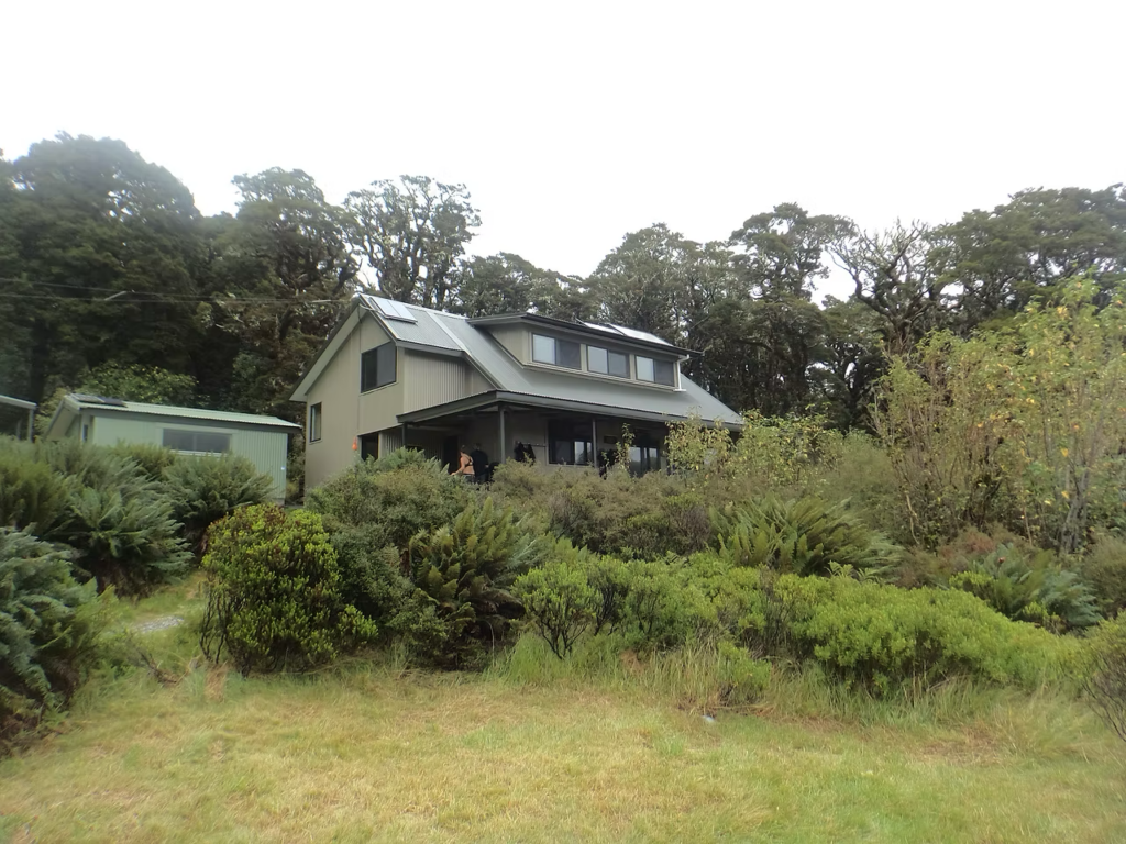
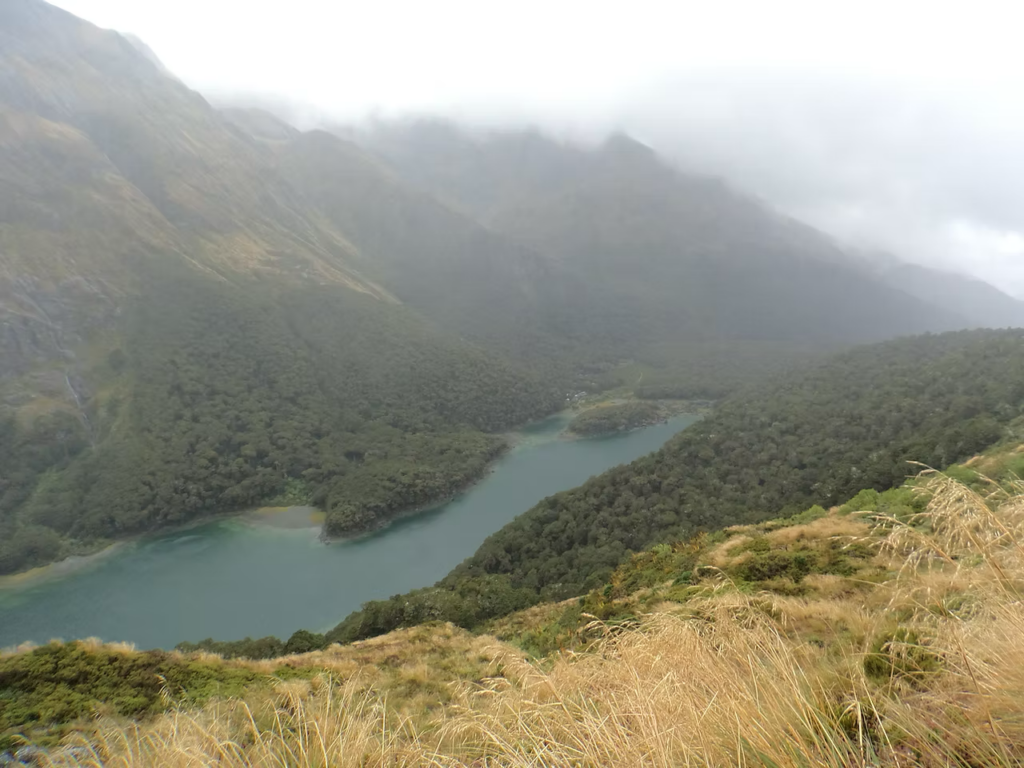
Arrived at the Lake Howden Hut after a moderate, cruisy 7 ½ hour walk followed by a very, very refreshing swim in Lake Howden. The Caples Track was in pretty good condition in March 2019 – need to check current conditions following massive storms in February 2020 which also took out part of the Lake Howden Hut. A full hut – including a few contractors doing trapping on the tracks. The Great Walk huts have wardens who give you great information on the current conditions, along with the history, flora and fauna of the area.
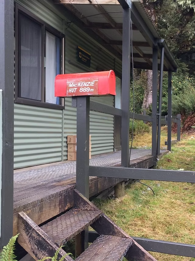
Day 3 – Lake Howden Hut to Lake Mackenzie Hut
3 – 4 hrs (Great Walk Hut – bookings required – 50 bunks)
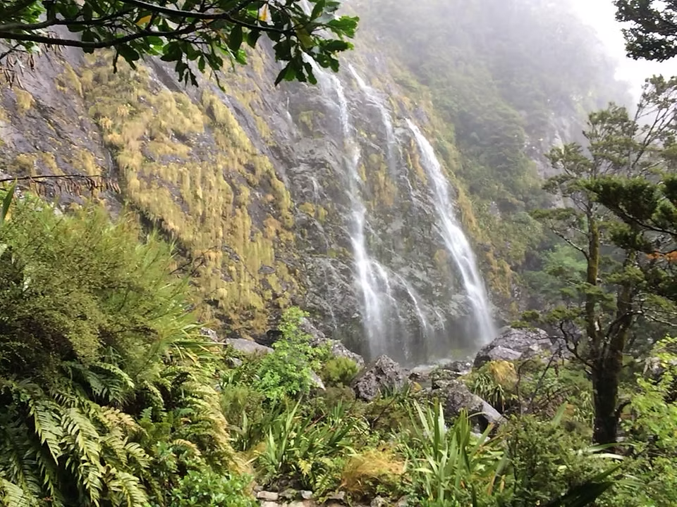
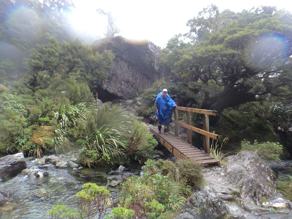
We had planned to go up to Key Summit in the morning before heading on but woke up to low cloud and rain so there wasn’t much point. Left the hut just after 10am in light rain that steadily got heavier – yay for waterproof trousers! The bonus of the rain was the waterfalls were flowing well – Earland Falls (174m) especially impressive. The emergency bridge came in handy. The terrain was different again from the previous days with a steady climb through beech forest, creeks and waterfalls. After reaching another grassy area (The Orchard) you drop down with brilliant views of the lake to the Lake Mackenzie Hut – a moderate 3-hour walk, we didn’t take many breaks due to the rain.
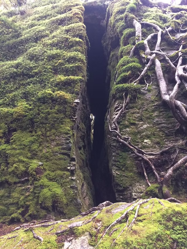
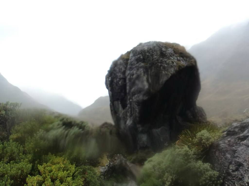
The sun came out for the afternoon which meant we could explore the area and the amazing rock formations – huge rocks with splits down the middle. No swim in Lake Mackenzie, a bit cool, so just up to the knees but a bonus of no sand flies – too cold for them.
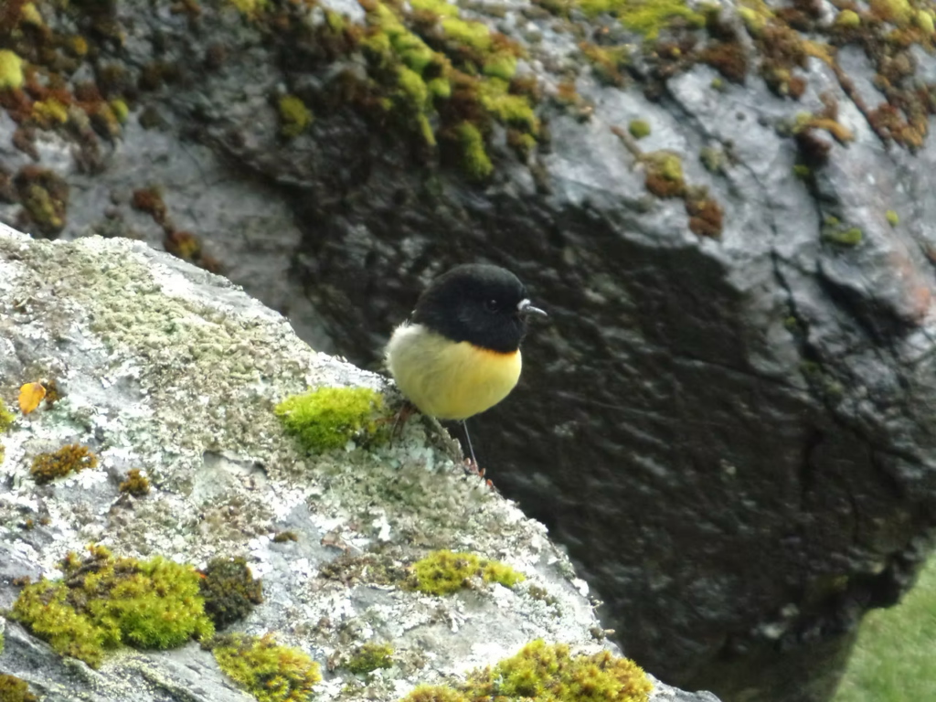
The warden at Lake Mackenzie Hut is a legend. Euan boosted the trapping of introduced pest on the Routeburn Track and set up a trust to continue this work. To says he is passionate about this is an understatement (though, passionate in a very West Coast kind of way). He had the fifty people in the hut transfixed for about 1 ½ hours talking about the work he was doing and tales of stoats and their dastardly ways. You can really see the benefit of the trapping with the number of birds we saw on the track that day – Toutouwai, Mohua (Yellowhead), Tititipounamu (Rifleman) and at the hut a cheeky Kea or two. I hope he raised lots of money as he got some from us!
Day 4 – Lake Mackenzie Hut to Routeburn Falls Hut
4 ½ – 6 hrs (Great Walk Hut – bookings required – 48 bunks)
One thing about Great Walks is they are absolutely beautiful and thus super popular, so you either have to leave early or late if you are after some solitude. Leaving when you think there will be a break in the weather is likely to be when most other people (especially the assisted walkers) will leave. Note to self – leave early unless you want to be constantly overtaking!
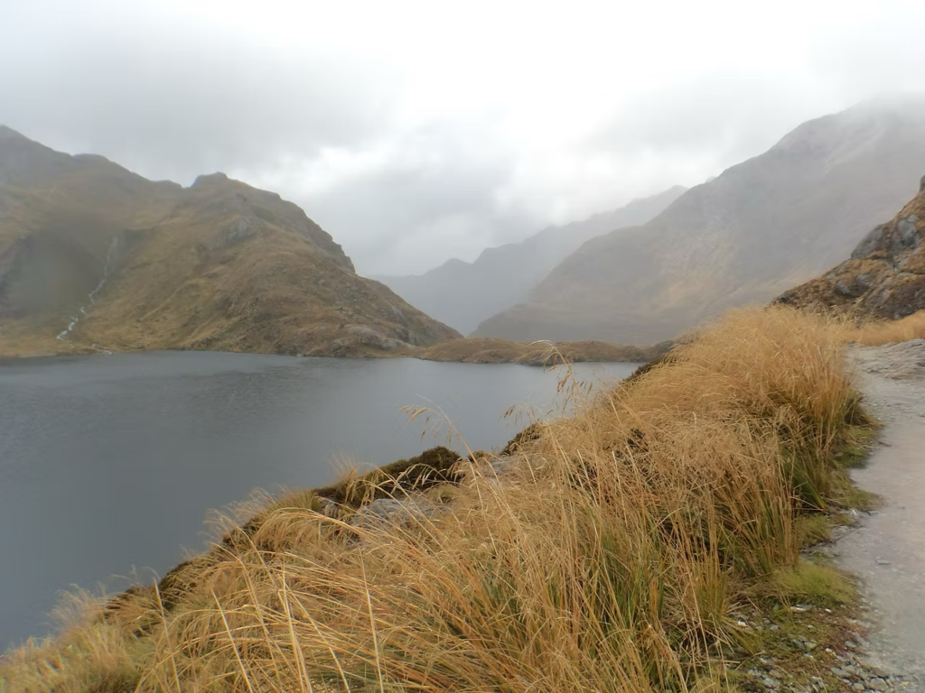
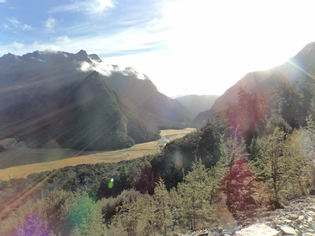
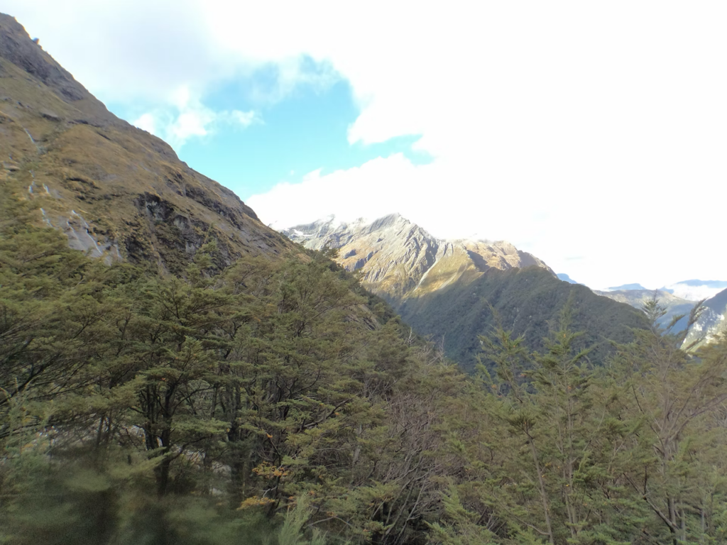
This is the most challenging part of the track and the most scenic, if you can see it. Today – rain, wind, low cloud. Not a lot of photos! However, it would be my favourite day of the track. Climbing to the tops, the Darren Mountains lurking behind the cloud, glimpses of the rare Tuke (Rock Wren) up to the snowy Harris Saddle (1,255 m). This is pure alpine, even though we are in March – two layers of merino, Gortex coat, waterproof pants, hat and gloves and constant movement.
Hunkering down in the Harris Saddle Shelter for hot Miso soup, then coming out to a break in the cloud with glimpses of the stunning Lake Harris. Slipping around the bluffs above the lake, then down waterfalls (literally down waterfalls!) – be sure to make use of the ropes. Arrived at a full Routeburn Falls Hut after 4 ¾ hrs very wet but very happy. More blue sky so able to go out and explore the Routeburn Falls cascading over the rocks and glimpses to the top. Resisted the temptation to run up to Harris Saddle to get the view.
Another great warden had saved a couple of bottom bunks for late comers and gave them to us – must have been our great chat. Or our generous natures having provided food to “the gym bag guy” – who left the Divide at 7am, with the aim of walking to Routeburn Shelter and hitching to Queenstown in a day, in sneakers, with a light weight parker, and a gym bag over his shoulder that contained a change of clothes, a sandwich and muesli bar. I saw him go past Lake Mackenzie Hut and couldn’t believe anyone would be out there in weather dressed like that with a shoulder bag. By the time we got to the Routeburn Falls Hut he had dry clothes on (yeah for the gym bag), but no food left or energy to walk any further – it was hard to balance with a shoulder bag. If it wasn’t for the generosity of others, he would have been up the creek big time!
Day 5 – Routeburn Falls Hut to Routeburn Shelter
3 – 4 ½ hrs
Stunning morning – again resisted the temptation to run up to Harris Saddle for the view. We had a deadline with the shuttle pick up. The track descends through more gorgeous beech forest, with great views of Humboldt Mountains, and again we were kept company by Toutouwai flitting from branch to branch.
It took no time to get to Routeburn Flats Hut and the grassy meadow. A swing bridge takes you into the gorge then down Bridal Veil Waterfall where we saw a group of very serious looking climbers/canyoners heading up. Sugarloaf Stream lead onto the sparkling clear river that gave the track its name – the Route Burn – and on to the Routeburn Shelter. This part of the track only took 3 hours so we regretted not running back up to Harris Saddle but did manage to get an earlier lift back to Queenstown.
Overall – loved it rain and all, in fact I think the weather only enhanced it. Would do it again in a heartbeat. Next time would go from Routeburn Shelter to the Divide and overnight in Te Anau before tacking the Kepler.
You can find out more about the Routeburn Track on the Department of Conservation website – Routeburn Track.
Tis' the hiking season
The Great Walk season usually runs from the start of October to the end of April and huts book up fast. As in under three hours fast. From May to late October, it can be cold and wet, with ice, snow and short daylight hours - only go if you have alpine, river crossing and navigation skills. Don't say we didn't warn you.
KEPLER TRACK
Set out on a wilderness adventure above the clouds, high in the mountains above Lakes Te Anau and Manapouri in Te Wāhipounamu – South West New Zealand World Heritage Area. The drama of these vast tussock-covered ridgelines and spectacular alpine vistas contrasts with the peaceful lakes and the beech forest of the Iris Burn valley.
The Kepler Track is circular and can be walked in either direction. The track is well marked and signposted, but some sections are steep and rough and may be muddy and slippery. Poor weather conditions can make this walk challenging, even in the Great Walks season (November to April). Check out Tracknet for transport options and the Department of Conservation website for more information.
HOLYFORD TRACK
The Hollyford Track is not a New Zealand Great Walk, it is a brilliant one. A four day, one-way track, follows the Hollyford river to the sea. In Fiordland National Park it rains two days out of three – celebrate it – that’s why this area is so stunningly beautiful
The Hollyford Track is the only major low altitude track in Fiordland National Park that can be walked all year round – it also connects to the Fiordland coastline. This 56-km tramping track starts at the Lower Hollyford Road and leads to the old port of Martins Bay. Situated among the sheer rock walls of the Darren Mountains, the track follows the Hollyford River - Whakatipu Ka Tuka on its journey to the sea.
The Hollyford Track is not a New Zealand Great Walk, it's a brilliant one. Features are the two lakes; Lake Alabaster - Wāwāhi Waka and Lake McKerrow - Whakatipu Waitai. The site of the now abandoned Jamestown, which was established in the 1870s, can be found on the shore of Lake McKerrow.
For our Camp Mother's tale of her epic adventure (in not so epic weather), check out the information below. For more information, check out the Department of Conservation website.
Hollyford Track, Fiordland National Park
Hollyford Track, Fiordland National Park
he Hollyford Track is not a New Zealand Great Walk, it is a brilliant one. A 56km, four day, one-way track, follows the Hollyford river to the sea. In Fiordland National Park it rains two days out of three – celebrate it – that’s why this area is so stunningly beautiful.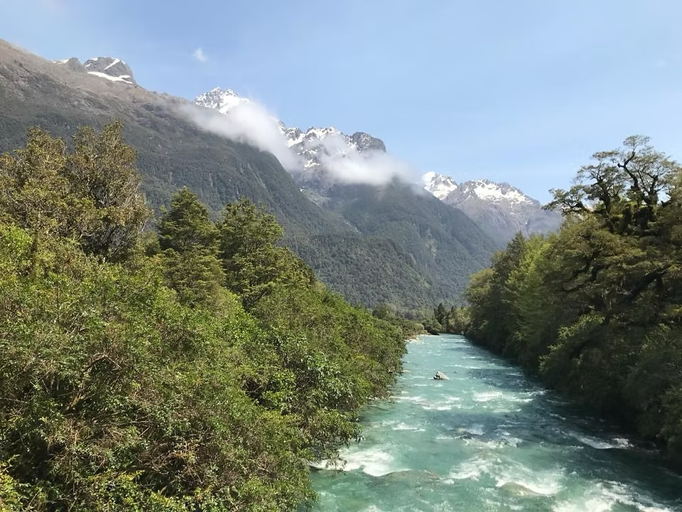
30th November 2019 – a great day for an adventure. Drive from Te Anau to Hollyford Road end through beautiful rolling hills and bush, along the main highway then a loose metal road and around potholes. Looking for transport options? Suggest something with decent tyres as opposed to pimped up sewing machine on fragile plastic ones!
Hollyford Road end to Alabaster Hut
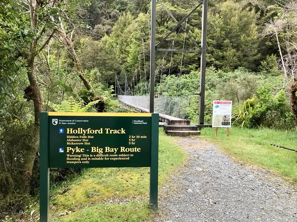
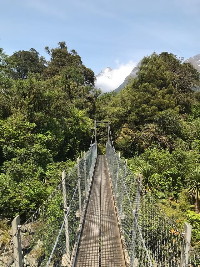
The start of the track is over a swing bridge spanning the Humboldt Creek (looked more like a river today!) – an amazing turquoise blue, flowing high and fast after quite a bit of rain in preceding days. We had been told this section of the track was good with plenty of swing bridges except for one creek crossing about 30 minutes from the start where the bridge kept getting washed out so they hadn’t replaced it. If the water was up, we wouldn’t be able to go on until it was safe to cross. There was plenty of water but luckily for us it was all good to cross – expect to get wet boots!
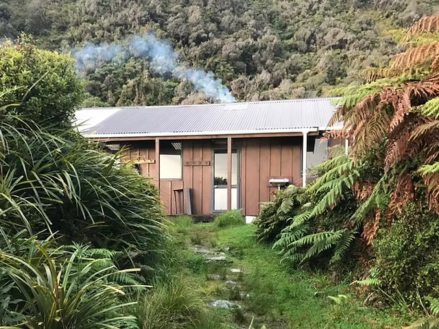
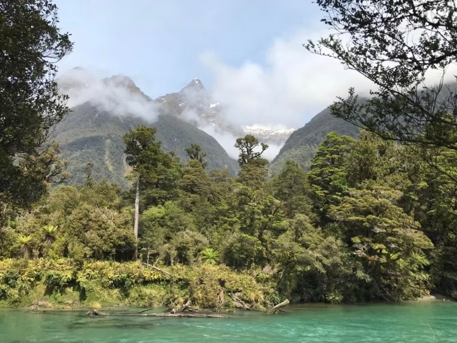
Enjoyed meandering through lush forest with ferns and mosses, connecting up with the Hollyford River, with occasional glimpses of the amazing Darren Mountains. Passed the private hut (Sunshine) and after another swing bridge lunched at Hidden Falls Hut. Hidden Falls is well worth a look – you could hear it before you saw it.
The next section of the track is a slight climb up to Little Homer Saddle (147m – slight stretch of the word saddle) but great views through the beech forest to the highest mountain in Fiordland National Park – Tutoko (2723m). A few Piwakawaka (Fantail) and Miromiro (Tomtit) flitting about hoping we would stir up some lunch for them. Then down to the Little Homer Falls that were roaring after the recent rain. The Pyke River/Hollyford confluence was fairly impressive and 15 minutes on we came across the Lake Alabaster Hut. The Hut is just up from the lake – sleeps 26 however only 12 people staying. The swim in the lake was fairly fast – combination of sand flies and cold!
(Brochure time: 5 – 7 hours. Actual time: 7 hours – easy)
Alabaster Hut – Demon Trail Hut
Believe what the brochure says about this track – this section of the track is very different to the first day. This is New Zealand backcountry at its gnarliest – you have to watch every step! Hard to believe they used to drive cattle on this trail.
Early start, overcast, mosses, ferns and water! Great swing bridges then the trail is rocky and undulating, and due to recent rain it resembled a small stream a lot of the way. Yay for orange triangles (blazes) marking the way.
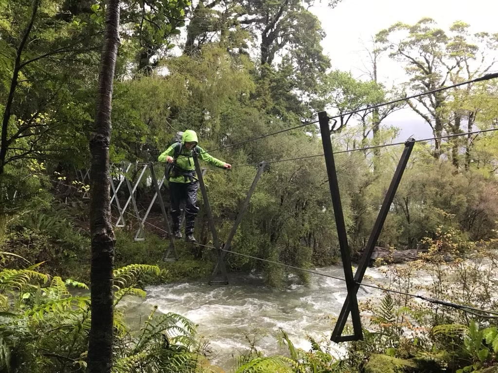
After 2 hours we hit the Hollyford River again but couldn’t cross to McKerrow Island Hut for lunch as the water was too high and more was falling in the form of rain. Walking through the forest was just amazing – waiting for the trees to come to life, hobbits to pop out or Taniwha to jump from behind a fallen tree. After 5 hours the skies cleared a bit and we got great views across Lake McKerrow to snow covered mountains. We also got our first 3-wire bridge – these are fun. How would you walk a tightrope – straight on, the sideway shuffle or Charlie Chaplin (my favourite).
After another hour we came to Demon Trail Hut (12 bunks). A bit of dry wood in the wood shed which we replaced with some recent falls from the forest. Got the fire going, into dry clothes and enjoyed the hut to ourselves for a wee while but then joined by an American couple coming from Martins Bay with tales of fresh Crayfish provided by local lads from Queenstown who had dived for them. A few hours later a group of six who came from Hollyford Road and couldn’t get into McKerrow Hut – had a big day (13 hours!). As always, a good chat!
(Brochure time: 4.5 – 5.5 hours. Actual time: 6 hours – hard)
Demon Trail Hut to Hokuri Hut
Second day on the Demon Trail – blue sky. Rocky, slippery, undulating – and although the rain had stopped, still WET! Loving the 3-wire bridges – some now very close to the water – without these we wouldn’t have been able to cross most of the creeks.
Came across a young guy who was returning from Martins Bay – said the water was a bit higher on the way back but no problem crossing the streams.
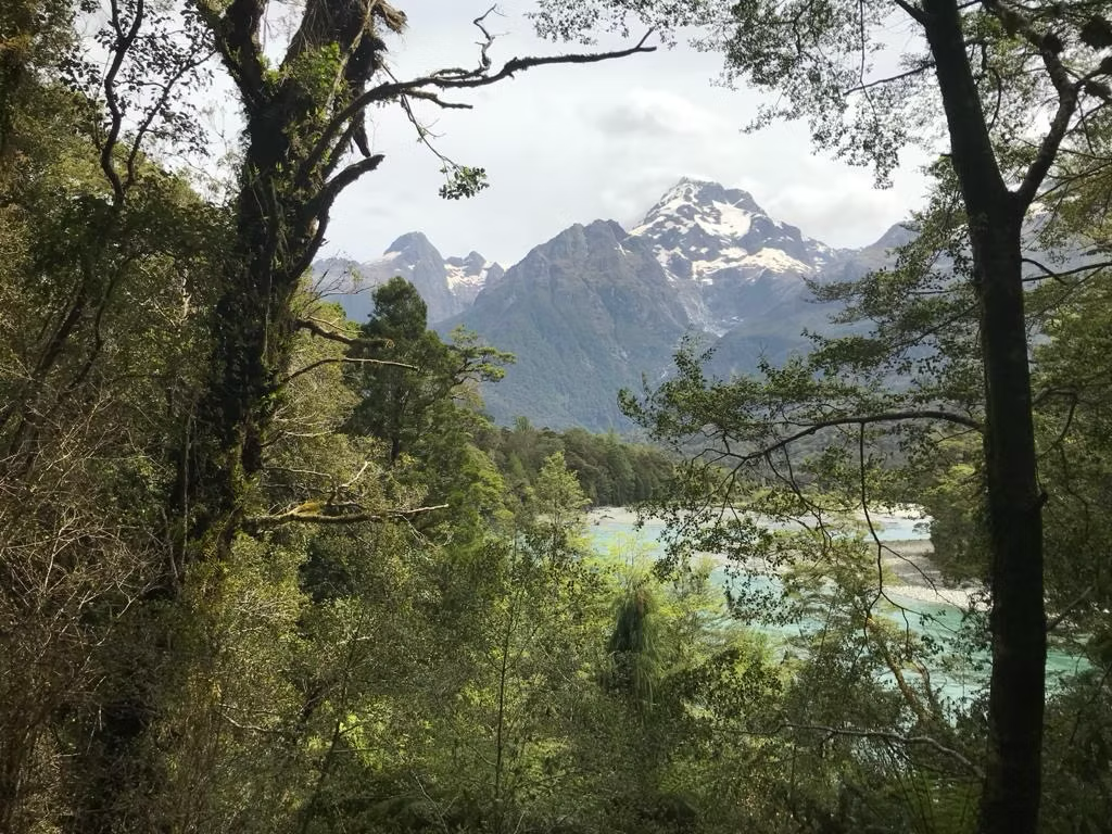
It was gnarly and had to watch every step but loved it. Incredible rain forest with breath taking views of the lake and mountains.
(Brochure time: 5 – 6 hours. Actual time: 7 hours – hard)
Hokuri Hut to Martins Bay
This is an easy walk along the lake shore, however, when there is no lake shore…
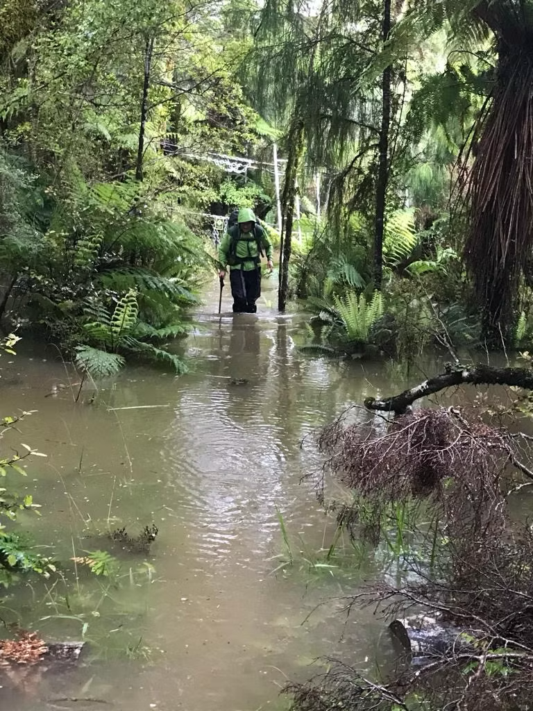
Very heavy rain over night. We left early in light rain expecting to have to do a detour to a three-wire bridge to cross Hokuri Creek however before we got there, we came across a creek that was flowing very fast and high. While we were discussing strategies for crossing this the water got higher, faster and turned brown. We decided to return to the hut and give it a few hours to see if the water level would come down, as did the group of six. 4 hours later it was crossable so off we went; but, there was more water to come.
When we got to the 3-wire bridge across Hokuri Creek it was only about ½ m above the water – great fun!! Back to the lake and the track basically disappeared. Occasionally we would see a blaze on a tree in the lake under 1 -1.5 m of water but most of the time nothing. We did our best to follow the shore but when it disappeared or we came to a stream that was too deep we had to bush bash up the side of the stream until we came to a safe place to cross. Trapping tracks came in handy for this but not recommended!
Jamestown was a welcome sight but a bit concerning that what should have taken us 1.5 hours had taken 3 hours! Jamestown had a few relics of the old settlement but not much else. The settlers were expecting a road to be built in here – not likely. We continued along the lake in much the same way coming across private baches and sheds, along with the odd very old sign post for the track. Five hours after leaving the hut with utmost joy and relief we came to a very large orange blaze leading away from the lake shore and a sign for Hollyford Airstrip and Martins Bay Hut.
This part of the track was completely different. Open, well-marked and in most places dry, except while crossing the airstrip where we were blessed with a sudden storm – thunder, lightning and hail! One more obstacle before Martins Bay Hut – Jerusalem Creek – we got to practice our river crossing skills. This after heavy rain overnight was knee deep, very wide and flowing steadily.
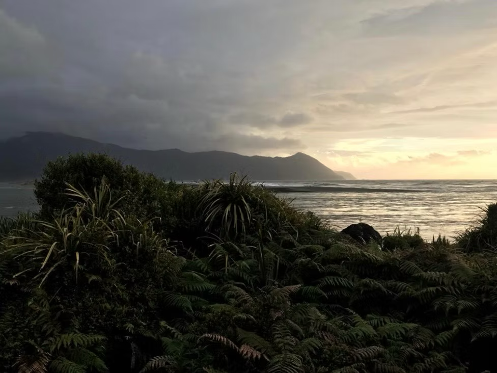
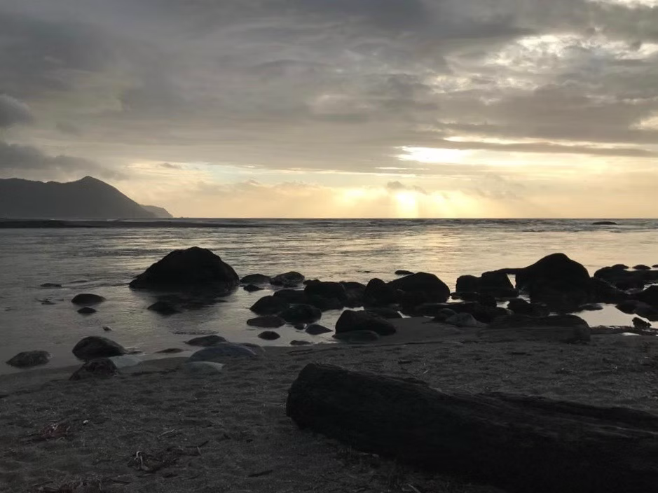
Back into the forest where you could hear the sound of the breaking waves as you walked along a very well-marked track. And finally, Martins Bay hut (24 bunks), 12 people there already who had been there for a few days unable to do the walk to Big Bay Hut as planned and had been advised not to go to Hokuri. They were surprised to see us arriving at 7 pm at night and incredulous that we had managed to get along the lake.
From here you can go on a further 20 minutes to Long Reef and see Fiordland crested penguins and seals (May-November) – it was pretty wild and windy so didn’t stay long.
(Brochure time: 4 – 5 hours. Actual time: 7 ¼ hours. First half – hard due to high level of lake, second half – easy)
Martins Bay to Hollyford Road end
Up early to wind and rain. Worried that the boat wouldn’t be able to pick us up due to the weather so very pleased to see it arrive and able to take all 20 of us. Great trip across the lake – which was apparently 3 m higher than usual!
Dropped us off at Pyke Lodge and we then had a 6 hour walk back to the car. Only concern was if the water had risen further we would have problems crossing the creek 30 minutes before the road end. Came across a few DoC workers along the way who reassured us we would be fine. Had a fairly good gallop with fine weather but the skies opened just as we got to the car park – yay for shelters and hatchbacks!
Lessons learnt:
- Check level of lake
- Check level of lake
- Check level of lake
- There are NO wardens at the huts
- Take enough food for extra nights
- Always have a plan B
On reflection, if we didn’t join up with the group of six we would have stayed at Hokuri Hut and not tried to get to Martins Bay. Reassuringly, talking to the captain of the boat if we weren’t at Martins Bay for pick up, he would have come into Hokuri Hut to see if we were there, and we could have boarded from there. On the walk to Martins Bay after the first 3 hours there was a long discussion about going on or heading back as it was pretty hard going. The decision to go on was taken once we started coming across baches where we could take shelter on the deck or in the shed if really necessary.
Absolutely loved the walk and would do it again anytime.
If you’d like to learn more about the Hollyford Track or any other New Zealand Great Walk for that matter, ask the folks at our travel desk or check out the Department of Conservation website – Hollyford Track, Fiordland National Park.